
The world’s oceans host a complex web of shipping routes, arteries through which the lifeblood of global commerce flows. Straits like Malacca and Hormuz, and channels like the English Channel, see thousands of vessel transits daily. In these congested waters, the margin for error is razor-thin. A minor navigational mistake can lead to a major catastrophe, causing collisions, environmental disasters, and severe economic disruption.
To maintain order and safety in these high-traffic areas, maritime authorities rely on a sophisticated network of aids to navigation. Among the most crucial are buoy systems. The primary purpose of buoys in these routes is to organize traffic, delineate safe passages, and warn of dangers. They are the silent, steadfast controllers that prevent chaos on the world’s busiest marine highways.
This article will explore the critical importance of buoy systems in managing busy shipping routes. We will examine the different types of buoy used to direct traffic and prevent accidents, and explain how a global standard ensures every mariner understands their vital messages.
In a busy shipping route, a buoy is more than just a marker; it’s a critical piece of infrastructure that performs several accident-prevention functions simultaneously.
The most significant role of buoys in congested areas is to establish Traffic Separation Schemes (TSS). A TSS functions like a divided highway on the water, using buoys to create distinct lanes for inbound and outbound traffic. By separating opposing vessel flows, these schemes drastically reduce the risk of head-on collisions, which are among the most dangerous types of marine accidents. Buoys mark the centerlines and outer boundaries of these lanes, providing clear visual guidance for captains.
Even in well-traveled routes, water depth can vary. Shoals, sandbars, and underwater ledges can appear near the edges of deep channels. Buoys are used to mark the precise boundaries of the navigable channel, ensuring that deep-draft vessels like supertankers and container ships stay in water sufficient for their safe passage. This prevents grounding incidents, which can block an entire shipping lane for days or weeks, as seen in major incidents in canals and straits.
Busy shipping routes are not always free of obstacles. Shipwrecks, offshore oil and gas platforms, and natural reefs can exist within or near these lanes. Buoys are strategically placed to pinpoint these dangers, giving vessel operators ample warning to adjust their course. Without these markers, ships traveling at speed, especially at night or in poor visibility, could easily collide with a fixed or submerged hazard.
With ships from dozens of nations navigating the same route, a standardized system of communication is essential. A buoy’s meaning must be instantly clear to a captain from any country. This universal language is provided by the International Association of Marine Aids to Navigation and Lighthouse Authorities (IALA).
The IALA Maritime Buoyage System ensures that the shape, color, and light pattern of a buoy have a consistent meaning worldwide. It divides the world into two regions:
The main difference between the regions lies in the coloring of lateral buoys that mark channels. In Region A, red buoys mark the port (left) side, while in Region B, red marks the starboard (right) side. Beyond this, the principles and other buoy types are universally understood, making the IALA system a cornerstone of safety in international shipping.
Different situations within a busy shipping lane call for specific messages. The IALA system uses several distinct types of buoy to provide clear and unambiguous instructions to mariners.
These are fundamental to defining the edges of traffic lanes and navigable channels. By staying between the lines of lateral markers, vessels ensure they are on the correct path and in safe water.
When a hazard like a large wreck or a wide shoal is located near a shipping lane, cardinal buoys are used to direct traffic around it. They indicate the direction of safe water based on the four compass points.
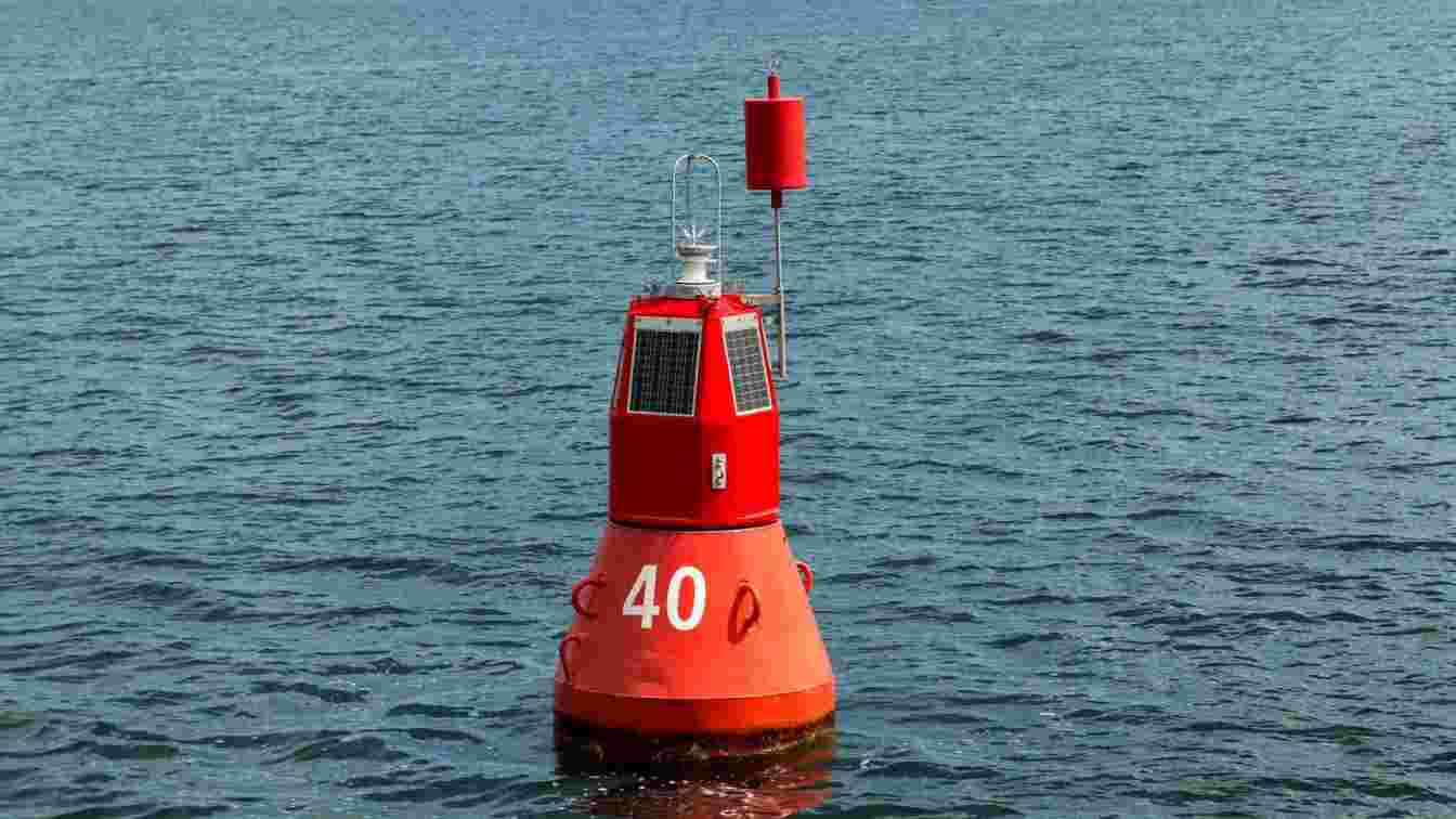
These are used to pinpoint a small, specific hazard that has navigable water all around it, such as a single submerged rock or a small wreck.
Also known as “fairway buoys,” these indicate that there is open, deep, and unobstructed water all around.
These solid yellow buoys provide information not directly related to channel navigation but still critical for safety in busy routes. Their purpose of buoys in this class is to alert mariners to specific conditions or zones, such as:
In the fast-paced, high-stakes environment of a busy shipping route, buoys are the silent orchestrators of safety and efficiency. They provide the structure needed to prevent chaos, guiding thousands of vessels safely through congested waters every day. By organizing traffic flow, marking safe channels, and warning of hazards, these vital aids to navigation are a first line of defense against marine accidents.
The globally standardized IALA system ensures that every mariner, regardless of their origin, understands the critical messages conveyed by the various types of buoy. This universal language is what allows the complex dance of global shipping to proceed with a high degree of safety. Without these resilient floating markers, the world’s most important commercial arteries would be far more dangerous and far less reliable.
Submit guest articles that reach decision-makers, influencers, and professionals. Yarabook offers a trusted platform for quality content, strong backlinks, and SEO-driven visibility. Pay. Publish. Promote.